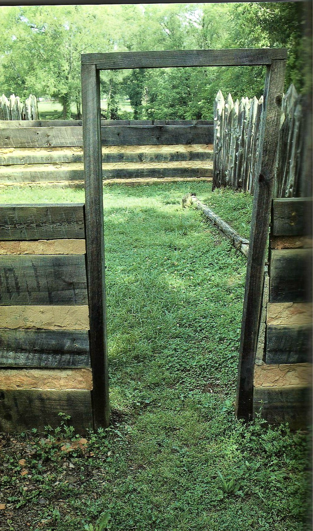
The Town of Ninety-Six
 A trading post was established during 1730 named Ninety Six. It was named for the estimated ninety-six miles separating the site from the Cherokee trading post at Keowee at the end of the Cherokee Path. A town developed around this region in 1769 and was a Loyalist stronghold. The location is at the southeast of Ninety Six on Route 248. At the time, the fort was the strongest inland fort in South Carolina. The first battle of the American Revolution was fought here in 1775 and represented the longest siege of the Continental Army. During the summer of 1780, Major Patrick Ferguson mustered a force of some 4,000 Loyalists and built a stockade fence around Ninety Six. Loyalist Colonel John Harris Cruger was the commanding officer when General Nathaniel Greene led 1,000 Patriots against the Loyalist stronghold for 28-days. Afterwards, the British abandoned this old fort of the back country. However, a good many little towns such as this developed around the skirmishes by the militia in South Carolina during the war when the British controlled Charleston and its port and the primary objective was to prevent the British from also seizing Augusta. . . . more . . .
South Carolina Wills and Estates
| SPECIAL GENEALOGY OPPORTUNITY NOW for yourself and friends!
$7 (auto expires after 1-month) Try it out now to see if you can find your ancestors |

|
No comments:
Post a Comment